UW Automatic Weather Stations - 2012
| Regions:Years: |
Ross Ice Shelf Stations (2012): |
|||||||||||||||||||||
Tom AWSOwner:Site Code: TOM Initial Start Date: 2011-01-13 Info from Service Visit: 2011-11-15 Latitude: -84.428898917 S Longitude: -171.477452861 W Elevation: 79 meters AWS Model: ARGOS ID: 8919 2012 Archive (FTP): 3-hourly | 10-minute Station Records:
Notes: Installed on 1-13-11 (approximate ground time 1.5 hours) Coordinates: -84.43, -171.46 Team: Melissa and Jonathan Pilots: Randy and Travis This was about a 20-30 minute flight from Priority #1. The ground is smooth. No crevasses in the immediate area (satellite imagery shows a crevasse area approximately 8.5 km to the south, southwest). The snow is more wind blown, with a crust layer in this area. UNAVCO GPS was set out. Approximate times were 4:30-6:30 (very rough estimate). A new station was installed with a 5' base and two 7' tower sections. The tower and guides have been installed approximately 2' into the snow. 2 sets of battery boxes were installed at this site. All instruments are the new style AWS. The enclosure number is 14633 and the Argos ID is 8919. The final instrument heights are: Lower temp: 145 cm J-box: 217 cm Enclosure: 260 cm HMP: 307 cm Boom (ADG and pyronometer): 372 cm Upper temp: 527 cm Aerovane: 560 cm | 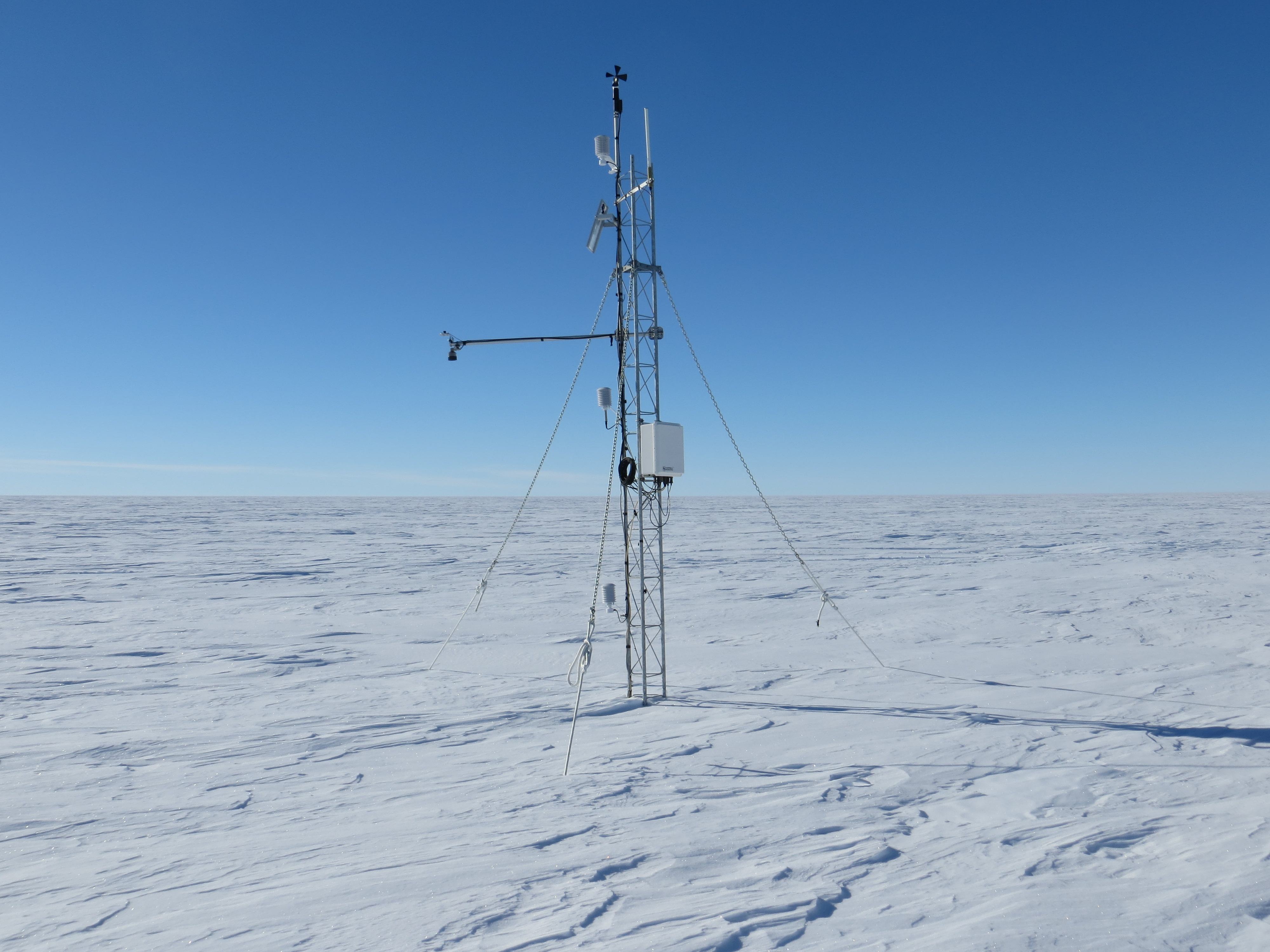 5 Photos  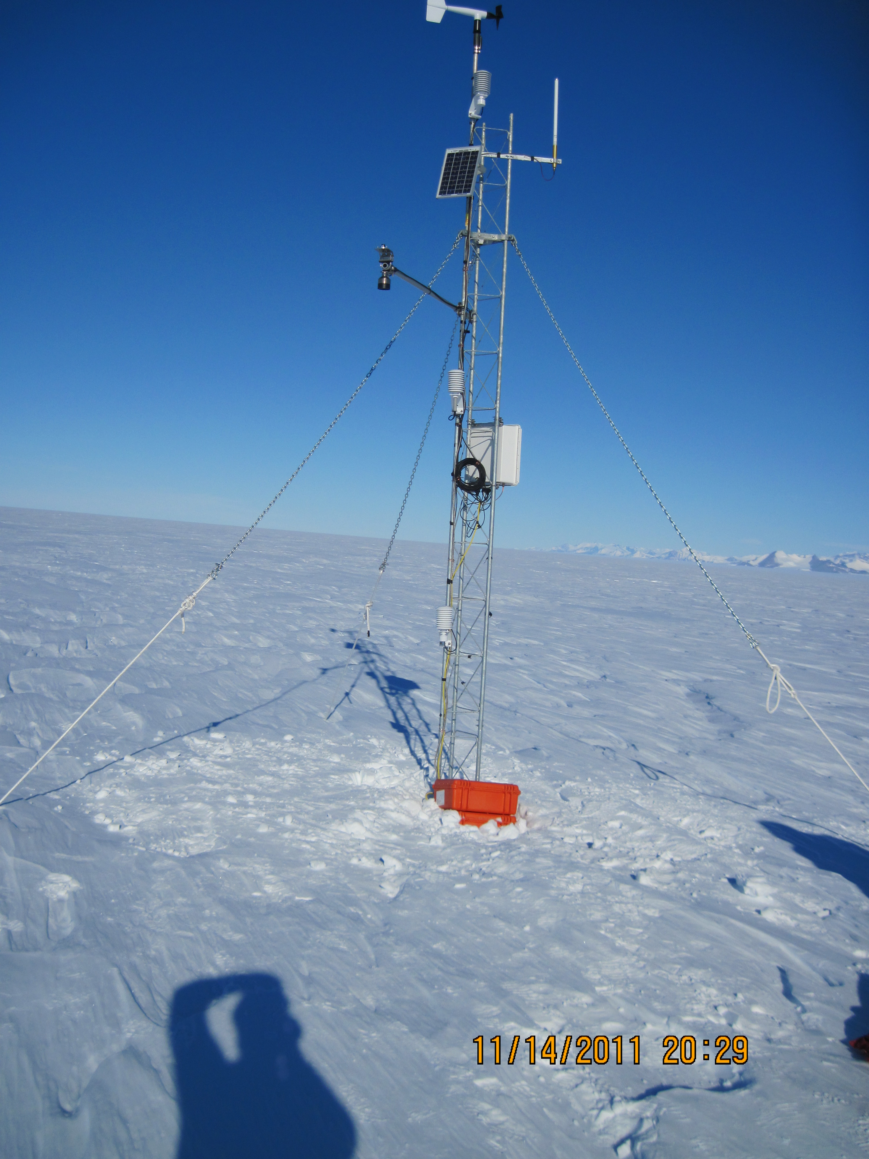 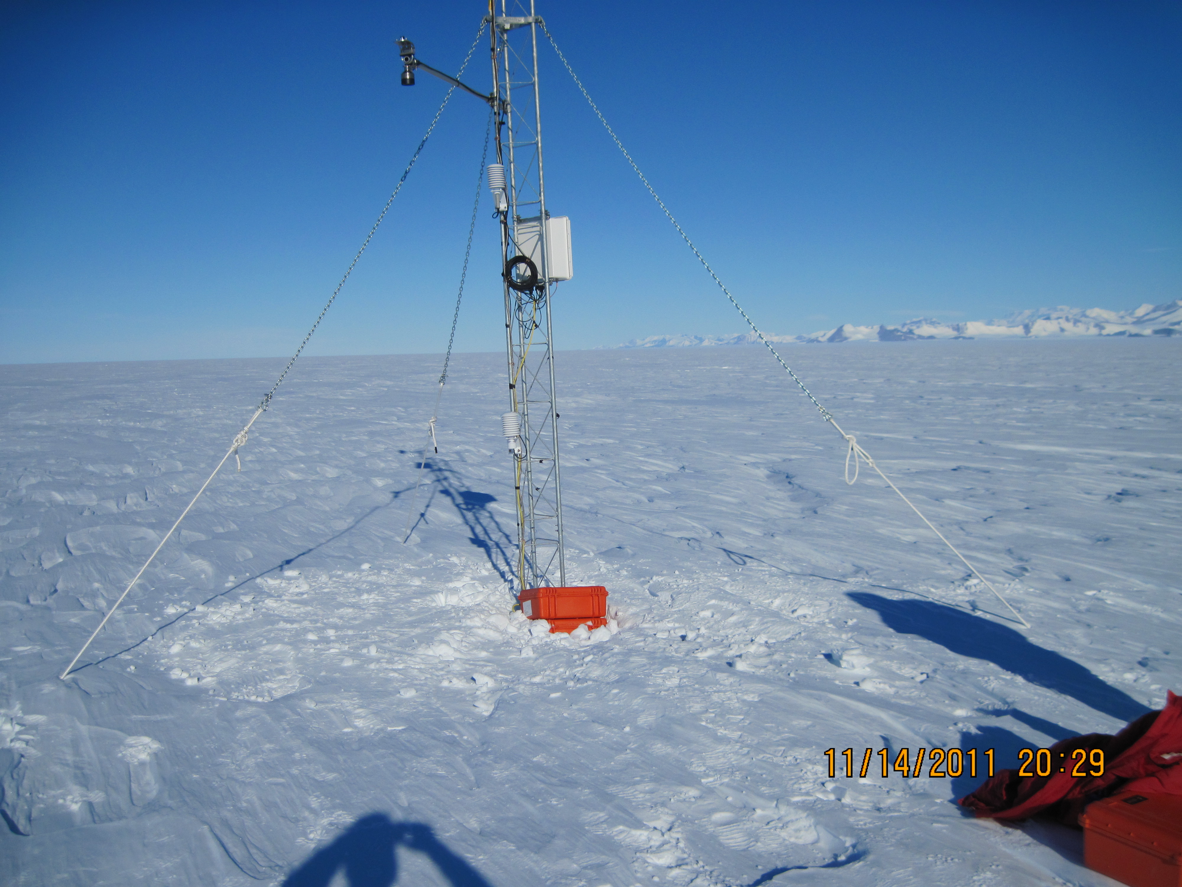 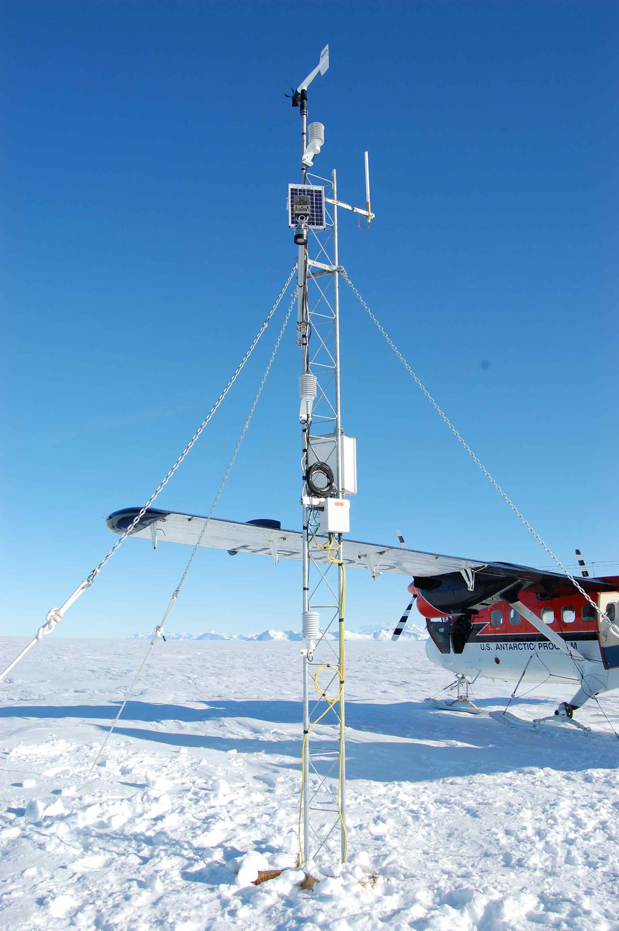 | |||||||||||||||||||||